4372 Wilder Avenue
Top insights
- No open HPD violations — cleaner than 87% of buildings in this ZIP
- Fewer HPD complaints than the neighborhood average (0 vs ~14)
- Built in 1961
Class B
Class C
past 12 months
rent-stabilized with
DHCR (most recent year)
units (PLUTO)
past 12 mo (150m)
rent
min walk
(311 complaints)
A difference between the DHCR rent-stabilized count and the PLUTO total is common and does not, on its own, indicate a violation: units can leave rent stabilization legally, the two datasets count units differently, some units may be non-residential, and a registration can be filed incompletely. To check your own apartment, see how to request your rent history from DHCR.
4372 Wilder Avenue
Open in Google Street View ↗
- City records show no open HPD violations here — ask what was most recently repaired and how maintenance requests are handled, since a clean record isn’t a guarantee of upkeep.
- Public records list 6 rent-stabilized units in this building — is this specific unit stabilized, and can the landlord show its legal regulated rent and lease history?
4372 Wilder Avenue sits in Bronx, ZIP 10466. The closest subway is Wakefield-241 St (2) (9-minute walk), served by the 2 line.
Building Condition
No HPD lead-paint violations on record. Built 1961. For buildings built between 1960 and 1978, Local Law 1 applies where the owner knows lead-based paint is present — there is no automatic pre-1960 presumption. Lead paint in residential use was federally banned in 1978.
The Building
Neighborhood & Environment
~1 block 300m
~2-3 blocks
- HARRASSMENT 2: 31
- GRAND LARCENY: 20
- CRIMINAL MISCHIEF & RELATED OF: 17
- ASSAULT 3 & RELATED OFFENSES: 15
- PETIT LARCENY: 14
- Blocked Driveway: 37
- Illegal Parking: 24
- HEAT/HOT WATER: 19
- UNSANITARY CONDITION: 8
- Noise: 6
- JUDS MANAGEMENT LLC
- DACRES, KENNETH A
- P&A HOME GENERAL LLC
- P.S. 087 Bronx
- The Matilda Avenue School
- P.S. 016 Wakefield
- Wakefield-241 St
- Grade A
- P.s. 087 Bronx
- Mt St Michael Academy
- St Francis Of Assisi School
- Bronx Charter School For Excellence 4
Internet providers serving this area
Internet providers available in this area — including fiber:
- Optimum Cable Fiber Up to 8,000 Mbps down · 8,000 Mbps up
- Verizon Fiber Up to 2,300 Mbps down · 2,300 Mbps up
How to check internet providers before signing an NYC lease →
Source: FCC Broadband Data Collection (NY, rev. May 2026). Wired broadband only — cable + fiber. DSL, satellite, and fixed-wireless not included. Block-level data; actual availability may vary by building.
Market & Availability
Latest news from Weverit.
Tenant guides, law changes, and neighborhood reports — written in plain English, sourced from the same public records that power Weverit building reports.
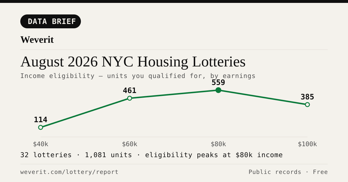
August 2026 NYC Housing Lotteries: Who Qualifies
32 lotteries, 1,081 affordable units — who qualifies by income, plus rents, AMI bands and application windows, from public records.
Read article →
Pets in your NYC apartment: the no-pet clause, the waiver rule, and what your landlord can actually enforce
NYC's Pet Law gives tenants who openly keep a pet for 3 months legal protection against no-pet clauses. Here's exactly how it works.
Read article →
How to find out who owns your NYC apartment building
Most NYC buildings are owned through LLCs. Here's how to trace the owner through ACRIS, HPD registration, and DOF records — step by step.
Read article →
How to check a NYC building's complaint history — and what it actually means
Complaints and violations are not the same thing. Here's how to read HPD and DOB records — and what the patterns actually tell you about a building.
Read article →
Certificate of Occupancy in NYC: what it is and why it matters before you sign
A C of O defines how a building can legally be used and how many units are permitted. Here's what to check — and what missing or mismatched records mean for tenants.
Read article →
Window guards in NYC: what your landlord is required to provide, and what changed in 2026
Updated January 2026: NYC window guard rules now cover balconies and additional situations. What tenants need to know.
Read article →
Water leak in your NYC apartment: who is responsible, and what to do
Ceiling leak, burst pipe, upstairs neighbor flood — NYC law says your landlord must fix it. Here's how to document, file, and escalate.
Read article →Recent building reports from Weverit.
The most recently generated reports from real NYC addresses — independent due-diligence on buildings tenants are actually checking.
3417 Hunter Avenue
Free public-records report for 3417 Hunter Avenue: violations, complaints, rent stabilization, transit, schools.
Read report →157 Tier Street
Free public-records report for 157 Tier Street: violations, complaints, rent stabilization, transit, schools.
Read report →755 East 217th Street
Free public-records report for 755 East 217th Street: violations, complaints, rent stabilization, transit, schools.
Read report →3613 Barnes Avenue
Free public-records report for 3613 Barnes Avenue: violations, complaints, rent stabilization, transit, schools.
Read report →3017 Barnes Avenue
Free public-records report for 3017 Barnes Avenue: violations, complaints, rent stabilization, transit, schools.
Read report →2173 Muliner Avenue
Free public-records report for 2173 Muliner Avenue: violations, complaints, rent stabilization, transit, schools.
Read report →Check another building
Pull the same public-records report for any NYC address — free, no signup.
Never miss an affordable apartment
Weverit's lottery digest tracks new NYC Housing Connect lotteries and no-lottery re-rentals — one curated email.
Get the lottery digest →